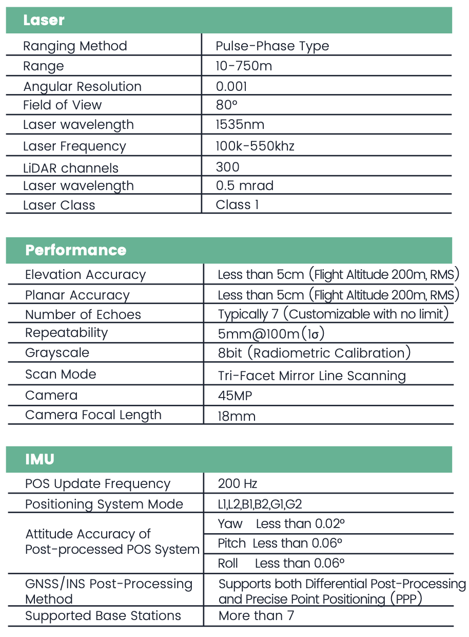
Extended Measurement Range up to 750m
With an impressive scanning rangeof up to 750 meters, this system is engineered for large-scale, high-altitude, and long-distance data acquisition. Whether deployed in mountainous terrain, expansive infrastructure, or complex industrial environments, it delivers precise and reliable 3D results with exceptional coverage.
Real-Time 3D Reconstruction
The industry's first airborne LiDAR system to support both real-time processing and post-processing workflows.In real-time mode, it delivers high-precision, visually rich, and measurable colorized point cloud models on the fly—enabling immediate insight and operational efficiency.
Lightweight and Easy-to-Use
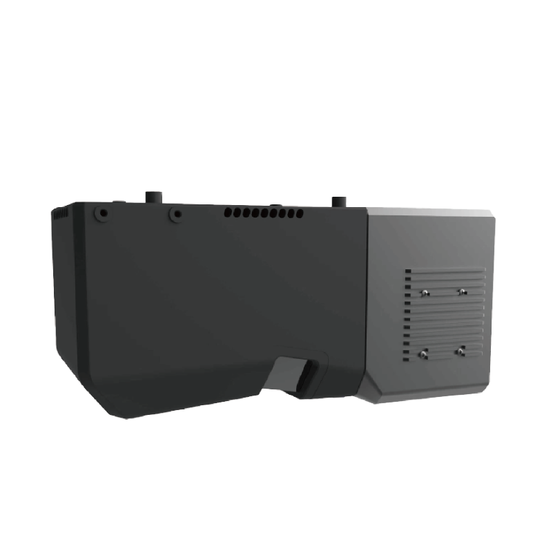
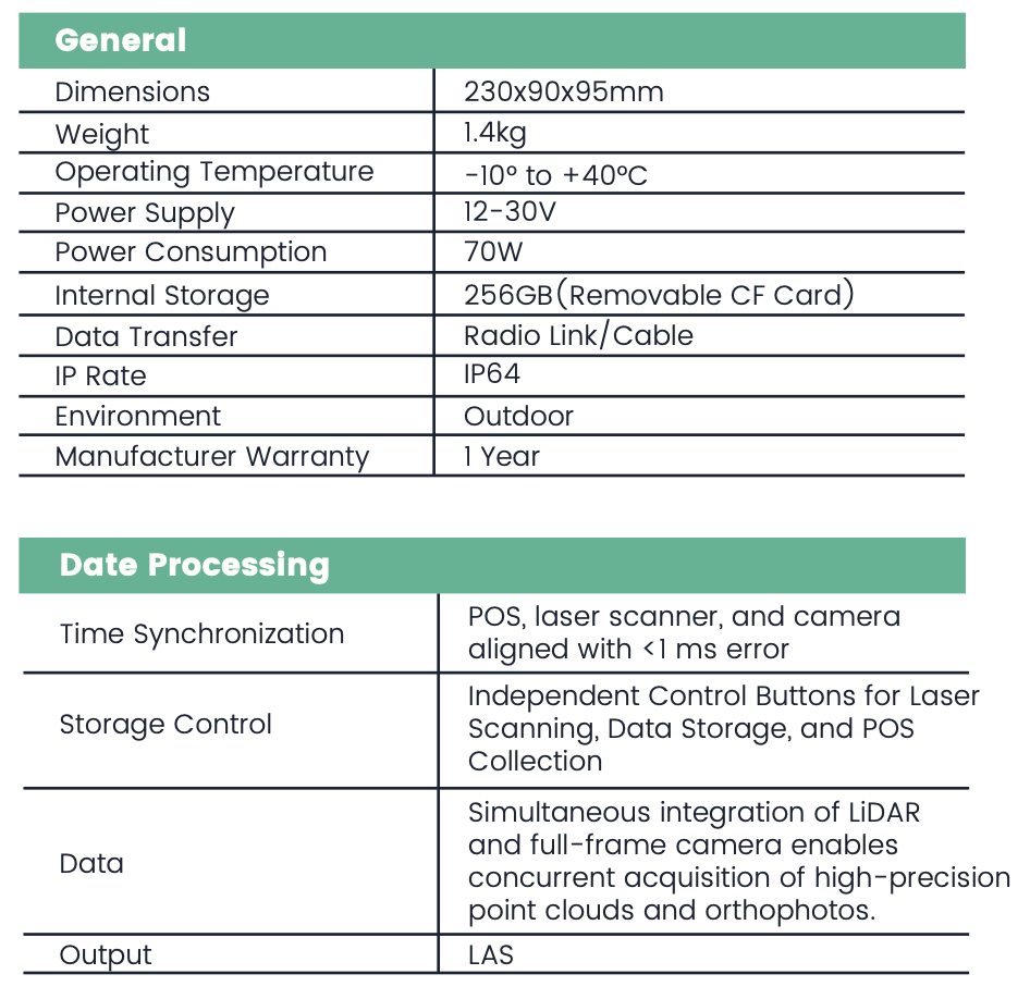
With a total weight of just 1.4 kg, the LiDAR unit features a compact and refined design, making it ideal for lightweight aerial platforms and field portability.
Fully Autonomous Operation
With an integrated power supply, one-touch takeoff, automated data collecting, and one-click data download, the system allows for efficient operation by a single user.
Direct True-Color Generation without Aerial Triangulation
Post-processing software enables rapid generation of 3D point clouds, allowing for direct true-color rendering without the need for aerial triangulation.
Smart Route Planning
Intelligent flight path planning supports both area-based mapping and corridor missions. The system automatically generates refined terrain-following and linear flight paths, along with calibration routes and coordinated turning maneuvers for optimized data acquisition.
.png)

 eRTK10 mini
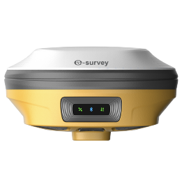 eRTK20
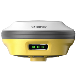 eRTK25
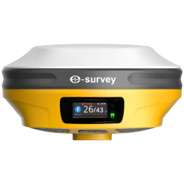 eRTK30
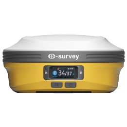 eRTK60
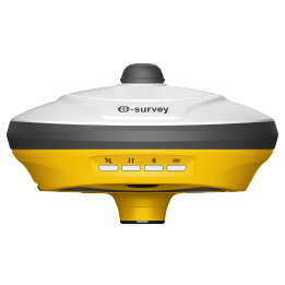 eBase 20
.png) eBase 30
eBase 30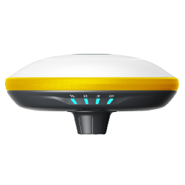 E300 Pro
 E500
E500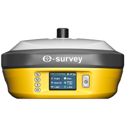 E800
E800 E800 Pro
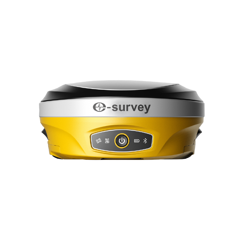 E600
E600 eDMR1
eDMR1 eSAR50
 NET10
NET10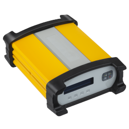 NET20 PLUS
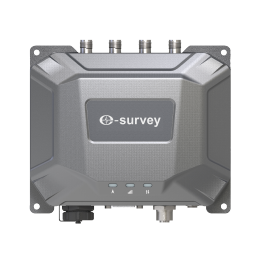 eHP10
eHP10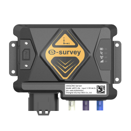 eHP10 Lite
 P8III
P8III P9IV
P9IV P9V
P9V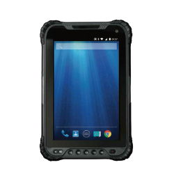 UT32
UT32 eSA3
eSA3 260_260.png) eT80(H)
eT80(H) Surpad4.2
 GEOSolution
 RootNet
 eScan M1
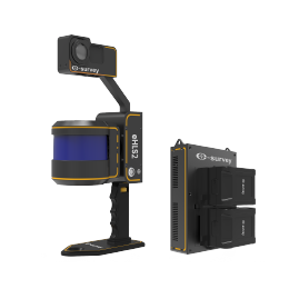 eHLS2
eHLS2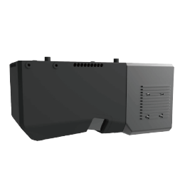 eLidar A1
 eME10
eME10 eME30
eME30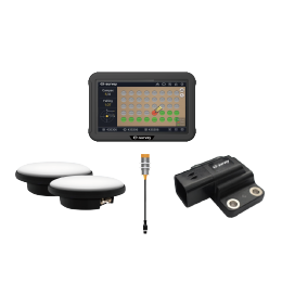 eMP10
eMP10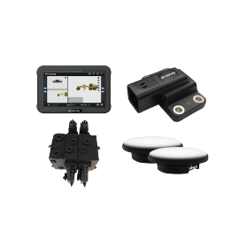 eMG30
eMG30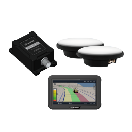 eMR10
eMR10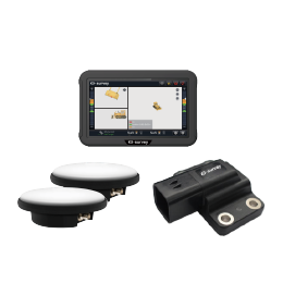 eMB10
eMB10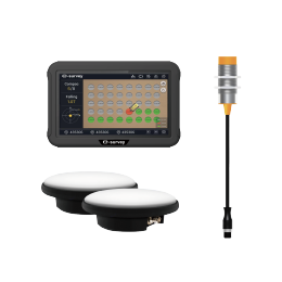 eMC10
eMC10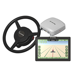 EAS502
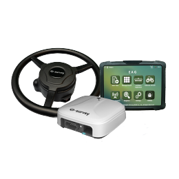 Bestar 301
 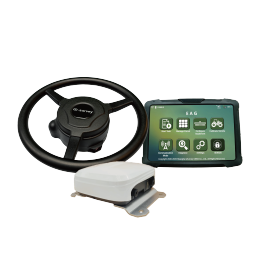 EAS301 Pro Motor
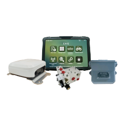 EAS301 Pro Hydraulic
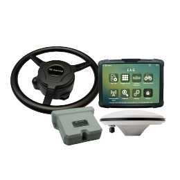 EAS100
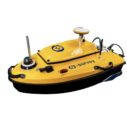 VE115
VE115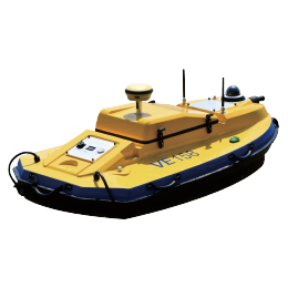 VE158
VE158 VE90
VE90.png) eTS32
eTS32 E3
E3 eTS2
eTS2 eTS8
eTS8 ESL2
ESL2 ESL3
ESL3 ET2A
ET2A TRU35
TRU35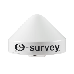 UA91
UA91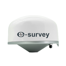 UA92
UA92 UA35
UA35.png)

